Observe
Bring Earth-observation, geospatial and operational information together.
VantageAtlas™ is being developed to turn Earth-observation, geospatial and operational data into decision-ready intelligence.
Monitor. Detect. Prioritize. Act. Verify.
Intelligence that leads to action
The challenge is no longer simply collecting more data. It is understanding what changed, where it happened and what should happen next. VantageAtlas is designed to connect those decisions.
Bring Earth-observation, geospatial and operational information together.
Identify changes, anomalies and areas that may need attention.
Separate important signals from routine information.
Direct reviews or field responses to the appropriate teams.
Capture evidence and maintain an accountable record.
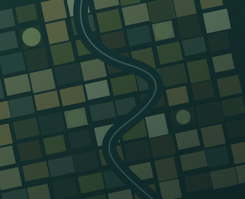
Satellite observations can highlight changes, but do not automatically establish the underlying agronomic cause. Intelligence, prioritization and field verification come first.
Flagship application
Understand changing conditions across fields, farms and regions. Help agricultural teams answer a practical question: Where should we look first?
Designed to support vegetation observation throughout the growing season. Potential applications include:
Potential analysis to help direct limited resources toward areas that may require attention first.
Optical: vegetation condition, spectral patterns and land-cover change.
Radar: structural and moisture-related information, including when clouds limit optical observation.
Multi-source: different sensors and time periods can provide a more useful operational picture than a single image.
From space to field
An alert by itself does not solve a problem. VantageAtlas is designed to connect remote observation with qualified people, field evidence and an accountable operational record.
Monitor defined areas of interest.
Identify a meaningful change or condition.
Determine where attention is needed first.
An authorized field team reviews the location.
Field evidence confirms actual conditions.
Document the response and current status.
Beyond agriculture
Potential applications for organizations responsible for distributed assets, changing environments and decisions that need evidence.
Support regional planning, geographically distributed programs and resource prioritization.
Planning / change detection / field verificationObserve infrastructure corridors, rights-of-way and surrounding environmental conditions.
Corridors / asset areas / inspectionsTrack vegetation, water conditions, land-cover change and environmental risk.
Drought / water / historical comparisonSupport situational awareness, response prioritization and recovery monitoring.
Flood impact / area mapping / recoveryUnderstand changing land-use patterns, development areas and potential encroachment.
Land cover / planning / developmentSupport organizations managing distributed locations, assets and operational areas.
Areas of interest / workflows / reportingCore platform direction
The platform direction connects observation, context, human review and operational response.
Optical, radar and other relevant data sources.
Imagery, boundaries, terrain and operational context.
Compare areas over time to identify differences.
Prioritize information for human review.
Define farms, regions, corridors and assets.
Surface conditions requiring further attention.
Understand current conditions in context.
Connect observations with evidence on the ground.
Move from issue to assignment and reporting.
Summarized intelligence for decision-makers.
Designed for integration with appropriate external sources, geospatial layers and operational systems, subject to implementation requirements.
AI with human oversight
Automated analysis can identify patterns without explaining their cause. VantageAtlas is designed around human-reviewed intelligence workflows.
Qualified personnel make the operational determination. Field evidence helps confirm what is actually happening.
Accountability, traceability and professional judgment remain part of the decision process.
Architectural priorities for a developing platform, not a claim of certification or completed implementation.
Specific controls, certifications and configurations depend on implementation requirements and must be validated before operational use.
Final deployment architecture depends on technical, operational, security and contractual requirements.
Developed for global application
From individual fields to national programs, VantageAtlas is intended to support organizations across countries, climates and operational environments.
Implementation and data configuration can be adapted to local requirements, available data and organizational objectives.
Focus scouting and field resources on locations requiring attention.
Consolidate observations across participating farms and territories.
Support visibility across corridors, locations and operational areas.
Inform planning, food-security awareness and resource prioritization.
A clearer picture
Understand the platform direction before starting a conversation.
VantageAtlas is a developing technology platform. This website describes its intended direction and potential applications, not a commitment that every capability is currently available. Request a briefing to discuss development status and a specific use case.
No. Agriculture and food security are the flagship application. The same planned intelligence foundation is intended to support government, infrastructure, environmental monitoring, disaster awareness, land use and enterprise operations.
No. An observation may reveal a change without establishing its cause. VantageAtlas emphasizes prioritization, human review and field verification rather than automated agronomic diagnosis.
VantageAtlas is being designed to work with appropriate Earth-observation datasets, GIS environments, environmental information, operational systems, field observations and approved APIs. Specific integrations depend on implementation requirements.
Security and controlled access are architectural priorities. Planned controls and cloud, private-environment or hybrid deployment options require implementation-specific validation. No security certification or government approval is claimed.
VantageAtlas is being developed by ACW Circle, the operating brand of Aries Connects World Inc., USA. Use the briefing contact below to discuss a mission or organizational requirement.
Discuss your mission
Tell us about your organization, area of interest and the decisions you need to support.
[email protected]Nothing has been sent. Open your email app, review the message and choose Send there. You can also copy the text below.
Open email app